Artikel der Marke Imray

Aktive Filter

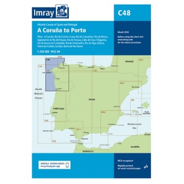
Imray Gefaltete Navigationskarte zum Bestellen

Preis 45,00 CHF
https://www.imray.com/chart-finder/

Geben Sie uns per E-Mail info@marinepro.ch die Referenz der gewünschten Imray-Karte an, wir bestellen sie für Sie und liefern Ihnen die neueste aktualisierte Version innerhalb von zehn Tagen.

Dieses Produkt kann nicht ohne die Einfuhrgebühren aus England verkauft werden. Diese Gebühren werden nur einmal erhoben, unabhängig von der Anzahl der bestellten Karten.

Sie müssen das folgende Produkt in Ihren Warenkorb legen: https://www.marinepro.ch/fr/services-location/18403-transport-colis-union-europeenne-jusqu-a-2-kilos.html
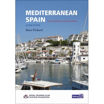
The second edition of this well-received title from the Royal Cruising Club Pilotage Foundation covers the entire Mediterranean mainland coast of Spain from Gibraltar to the French border.

This is the only detailed pilot for the Spanish Mediterranean coast running up from Gibraltar to the border with France. It covers a varied cruising area that includes the mountain-backed Costas del and Sol and Blanca, the expansive lagoon of the Mar Menor, the low-lying Ebro delta and the rugged Costa Brava. In between are several great cities including Malaga, Valencia, Tarragona and Barcelona, the Catalan capital.

The volume opens with Gibraltar and La Línea. With Imray charts for the same coast, Mediterranean Spain provides all the Digital necessary for anyone based in Spain, transiting to and from areas further East or the Balearics, or just exploring this rich and varied coast and its hinterland.

The coverage has been revised with the text updated, new plans added and other plan updates based on the latest information. This edition has been enhanced by the addition of over 100 aerial photographs showing coastline and harbour approaches.

Author: Royal Cruising Club Pilotage Foundation/Steve Pickard
Publication details: A4 210 x 297mm, Hard cover
Edition: 2nd
Edition date: 2021-05-01
ISBN: 9781786791832
Atlantic Spain and Portugal is the classic guide to this varied coast which includes the rias of of Galicia, the estuaries of the Douro and Tejo with Lisbon, the Algarve and then the coast of Andalucia down to Gibraltar. It's the essential companion for yachts making passage to the Mediterranean or onwards to the Canaries before an Atlantic crossing and also a comprehensive cruising companion for anyone visiting the delightful cruising grounds of Galicia and beyond.

There are new photos and most of the plans incorporate changes accumulated over the four years since the last edition was published.

"The best-presented pilot guide I have had the privilege to review. The text is clear and waffle-free, the photographs uniformly apposite and well-captioned, and a system of subheadings offers at-a-glance summaries for every likely haven:
‘The only shelter from the east between Cedeira and El Ferrol';
‘Beautiful, unspoilt river with challenging entrance';
‘No place for sailing yachts'.
Absolutely excellent.” Yachting Monthly

Author: Royal Cruising Club Pilotage Foundation / Henry Buchanan
Publication details: A4 210 x 297mm, Paperback - spiral binding
Edition: 8th
Edition date: 2019
ISBN: 9781846239649

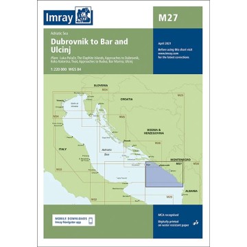
Imray Seekarten M27 Dubrovnik to Bar and Ulcinj

Preis 45,00 CHF
Maßstab: 1:220.000 (WGS 84)

Adriatisches Meer

Der Plan enthält:
Luka Polace (1:35 000)
The Elaphite Islands (1:90 000)
Approaches to Dubrovnik (1:50 000)
Boka Kotorska (1:100 000)
Approaches to Budva (1:75 000)
Bar Marina (1:50 000)
Ulcinj (1:10 000)

Autor Imray
Herausgeber Imray
ISBN 9781786790477.
Ausgabedatum 2018
Gedruckt und korrigiert bis April 2022
Angaben zur Veröffentlichung Blattgröße 640 x 900 mm. Wasserdicht. Gefaltet in einer Kunststofftasche.